Tibet Earthquake Update: 2,054 Aftershocks, but No New Deaths or Major Secondary Disasters Reported
· News Team
Updated October 26, 2026. Chinese authorities say inspections following the magnitude-7.0 earthquake in northern Tibet have found no additional deaths or major secondary geological disasters. That is a cautiously encouraging assessment, not a declaration that recovery is complete: the October 22 quake killed 16 people, injured 76 according to the latest official tally, and left damaged homes and disrupted communities across the high-altitude Nagqu region.
What changed on October 26?
China’s Ministry of Natural Resources reported that investigators had checked 157 geological hazard locations within about 50 kilometres (31 miles) of the epicentre, including 35 newly identified hazard points. Specialists also assessed 80 glacial lakes and 145 glaciers. The ministry described the earthquake’s effect on those lakes and glaciers as generally minimal and said no secondary geological disasters had been found in the inspected area, according to Reuters’ October 26 report.
The same update reported 2,054 aftershocks, including two of magnitude 5 or greater. Aftershocks are smaller earthquakes following the main rupture; a large count does not, by itself, establish that new destruction has occurred. It does mean damaged buildings and unstable slopes merit continued monitoring.
Earthquake fact box
| Main shock | October 22, 2026, about 10:33 p.m. local time (14:33 UTC) |
|---|---|
| Magnitude | 7.0, according to the U.S. Geological Survey |
| Location | Baqen County, Nagqu, Tibet Autonomous Region, China |
| Depth | USGS estimate: 18 km; Chinese network estimate: 10 km. Different agencies’ estimates need not match. |
| Reported human toll | 16 dead and 76 injured in the October 26 official update, as relayed by Reuters |
| Aftershocks | 2,054 reported by Chinese authorities as of their October 26 assessment |
Why the glacial-lake checks matter
Nagqu sits on the Tibetan Plateau, where steep terrain, thinly distributed settlements and high elevations complicate disaster response. An earthquake can destabilize slopes, dislodge rocks and affect natural dams around mountain lakes. Inspecting glacial lakes and nearby glaciers is therefore a practical way to check for hazards that might threaten communities after the initial shaking.
The government’s reported findings concern the areas examined; they do not eliminate all future aftershock, landslide or infrastructure risks. Detailed, independently verified information about every remote settlement remains limited.
What happened in the first hours?
Initial casualty reports changed as rescue teams reached affected communities. Associated Press reported on October 23 that the quake had damaged or destroyed hundreds of homes, interrupted communications and triggered emergency deployments. Chinese emergency officials activated a heightened disaster response, while responders delivered temporary shelter and other supplies.
For readers comparing reports, an important distinction is that damaged households and collapsed houses are not interchangeable counts. Early reporting varied on this detail. The most recent official casualty figures should likewise be attributed to the reporting authority rather than treated as independently audited totals.
Watch: Footage from the October 22 earthquake
Watch Euronews’ exact-event video of the Nagqu earthquake and emergency response (October 22–23). The broadcaster describes surveillance footage of people evacuating as the tremor struck and rescue personnel mobilizing. The video illustrates the original earthquake, not the October 26 geological inspection findings. We have not embedded it because third-party embedding permission and regional player functionality have not been independently verified.
What to watch next
The key questions are whether further inspections identify localized hazards, how many residents remain in temporary shelter, when damaged roads and services are fully restored, and whether authorities revise casualty or housing-damage figures. An absence of newly reported deaths is welcome, but recovery in remote mountain communities may take much longer than the first emergency assessment.
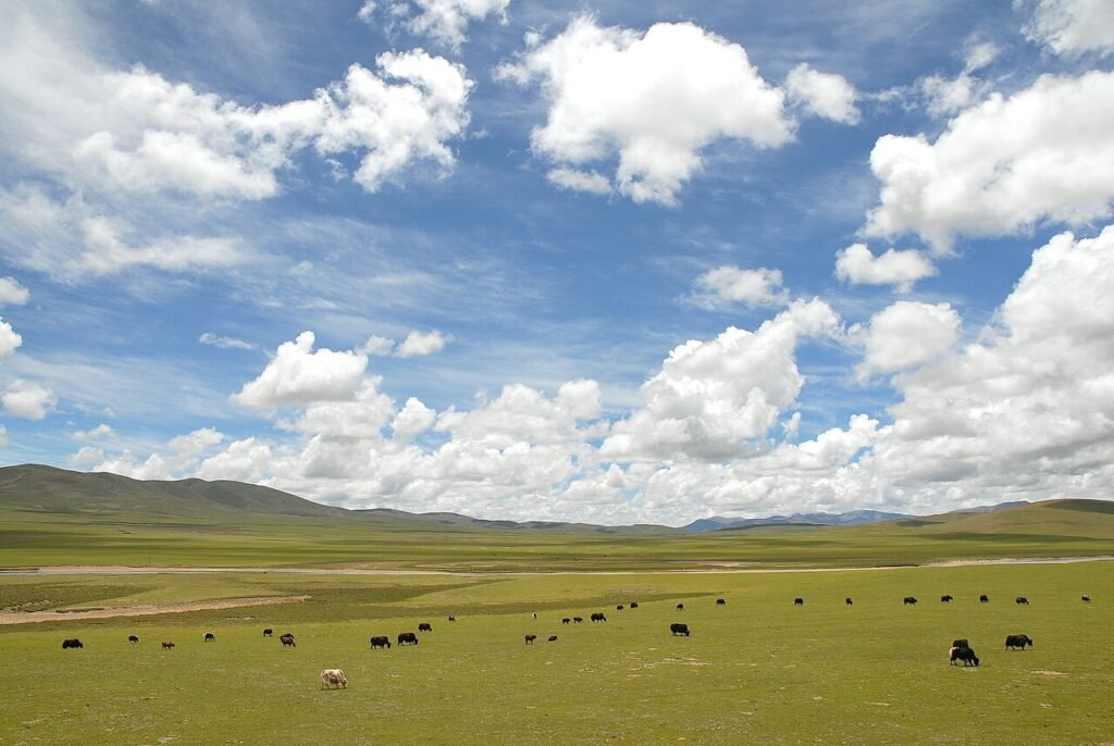
Image credit: Archival photograph of the Nagqu County landscape, July 25, 2007, by Luo Shaoyang via Wikimedia Commons, CC BY 2.0. The image does not show the 2026 earthquake, damage or rescue operations. A 1280-pixel resized copy is used; no substantive alteration to the scene.
Sources and verification: Reuters, October 26; USGS event record; Associated Press, October 23; China Media Group report on Tibet’s emergency response, October 23. Figures and inspection findings are attributed to the issuing authorities; the newsroom has not independently inspected the disaster zone.
Related coverage: Cross-border public-health preparedness in East Africa.


About The Author






Leave a Reply